
GeoSection is an excellent graphic application, designed for civil and topographic engineering, which is oriented to the design of construction sites and general topographic management. This GeoSection AutoCAD is specifically designed to be added, as a complement, to the popular AutoCAD program. In addition, so that its operation is simple and accessible, its user interface is perfectly localized to the English language.
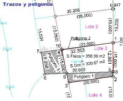
Very briefly, with GeoSection AutoCAD you can carry out the following actions: administration of topographic projects, design of points and vertices, control of strokes and polygonal, lotifications, design of contours and digital terrain models, drawing of topographic cross sections with specific tools, longitudinal profiles, calculation of volumes between cross sections and between meshes, projects of communication routes or any type of cross section, leveling of agricultural land, and so on.
With the tools that GeoSection AutoCAD is equipped with, you can also associate a defined axis in the plan with a longitudinal profile file, draw cross-sectional diagrams, label the contours, define two opposite corners and aligned with a previously selected baseline, etc.

You can free download GeoSection AutoCAD 32, 64 bit and safe install the latest trial or new full version for Windows 10 from the official site.