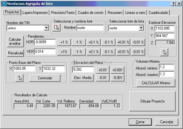

The Autodesk Land Deskpop is one of the most complete professional tools for defining and editing land and road alignments. Now you have this GeoSection Land Desktop, a plugin that adds new functions and features oriented to topographic readings.
With GeoSection Land Desktop you can perform topographic field readings, adjust them; draw contours and digital models directly on the ground; generate polygonal construction frames; insert curves, vertices, longitudinal profiles, cross sections; find volume calculations; perform coordinate system treatments; run coordinate conversion tools, etc.
In addition, to document each lotification project, GeoSection Land Desktop allows you to insert annotations and descriptive memories. It also has tools to anticipate possible earth movements, establish hierarchies of all the processes involved, create cross sections, and so on.

You can free download GeoSection Land Desktop 32, 64 bit and safe install the latest trial or new full version for Windows 10 from the official site.