
The boom that GPS navigation systems have gained is undeniable, and as a direct consequence there are many programs of various kinds that appear continuously to complement them.
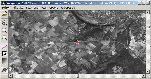
On this occasion we present GeoVisu, a viewer and browser specialized in geographic data: graphic files, images, and GPS. This program provides us with real-time GPS navigation (through a mobile map, using the NMEA 0183 protocol or the Garmin USB). This GPS navigation is represented on the screen with various geographic data, in many different formats: MIF, GPX, NMEA, KML / KMZ, SHP, ECW, GeoTiff, MrSID, etc. In addition, GeoVisu is capable of displaying images in negative or monochrome mode.
GeoVisu is a really very complete GPS tool. In addition to simple navigation, it also allows us to download points of interest from maps, log files (tracklogs) and routes from various external GPS devices. It has the function of printing, and support for various geodetic systems and is capable of carrying out geographical and cartographic coordinate conversions. All graphic data can be stored in MIF, GPX, NMEA and KML format (the latter compatible with the popular Google Earth.

You can free download GeoVisu 32, 64 bit and safe install the latest trial or new full version for Windows 10 from the official site.