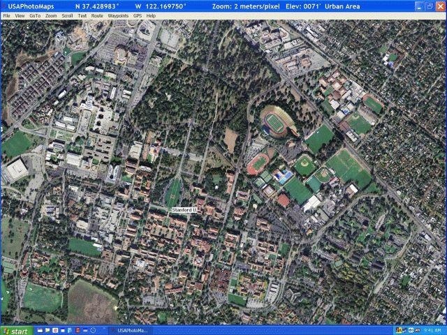

USA Photo Maps is used to download aerial photographs and topographic map data directly from the Microsoft TerraServer website, saving them to your hard drive and creating maps from them.
With USA Photo Maps we can do the following:
* Scroll and zoom operations.
* See latitudes and longitudes.
* See Landmarks UGSS.
* See contours, elevation and contour lines.
* Add points, routes and text on maps.
* Go to any map location within the United States.
* Transfer points, tracks and routes to and from most GPS receivers.
* Check what your GPS location is.
* And a lot lot more.

You can free download USA Photo Maps 32, 64 bit and safe install the latest trial or new full version for Windows 10 from the official site.