

A Geographical information System (abbreviated GIS) is an information system with which spatial data can be stored, edited, managed, analyzed, integrated and presented.
GRASS GIS is a free and open source GIS program.
GRASS supports vector and raster data in two and three dimensions. Attributes are managed as .dbf files and SQL-based DBMS such as MySQL, PostgreSQL/PostGIS, and SQLite.
GRASS GIS has the following characteristics:
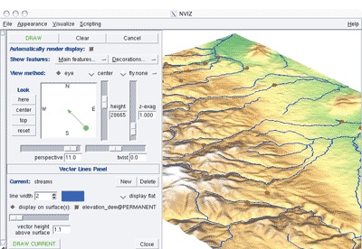
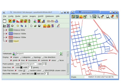
GRASS GIS-screenshots


You can free download GRASS GIS 32, 64 bit and safe install the latest trial or new full version for Windows 10 from the official site.