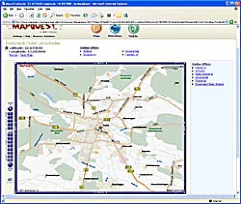

When we go on a trip, we cannot avoid taking photos of those impressive landscapes that surround you, so that once time has passed we can continue to remember them exactly the same as we saw them for the first time. But sometimes, we forget to write down to which place, city or site this image belongs, for that reason PixGPS has been created.
PixGPS is a great application very easy to use, which allows us to write GPS coordinates in the EXIF data (or metadata) of our digital images, those that contain JPG format. To fulfill its mission, the program requires that we use a GPS together with our digital camera and determine the waypoints. Then you can use the GPS track file (the 'trackfile') and synchronize the images with the GPS coordinates according to the coincidence of dates and times.
In addition to positioning our photos, PixGPS allows us to adjust some time-related options, perform searches on Google maps or export the data to a text file. In this way, we will never forget where that photo of that beautiful landscape you found during a trip or that monument that so impacted you belongs. Do not miss the opportunity to photograph your photos with the exact place where it was taken, and download this free trial version of PixGPS.

You can free download PixGPS 32, 64 bit and safe install the latest trial or new full version for Windows 10 from the official site.